You Are Where
Somala Diby, Rachael Dottle, Jourdan Sayers

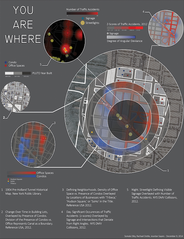
Through this project, we investigate how urban infrastructure facilitates movement and understandings of place at multiple scales. More specifically, we explore how Canal Street obstructs the flow and organization of culture, goods, and people, especially at its westernmost extent. We argue that the design of this area's transportation infrastructure creates a geography-bending portal generating nearness between New Jersey and Brooklyn while erecting barriers between physically adjacent neighborhoods. The design of this section of Canal Street has rendered the area transient, disorienting, and placeless.
As individuals navigating the city, we are most comfortable in places we have learned about and recognize, places that haven't changed, and places that we can confidently navigate. History, familiarity, identifiability, and orientability are all ways in which we articulate place. This area of Canal Street, then, is distinctly placeless. Its wide roadbed, high volume of traffic, and grid-defying intersections discourage pedestrian use and outsider accessibility. Its landscape is pierced by historic skyscrapers, reconfigured by new construction sites, and fragmented by empty lots and inaccessible parks, forming a geography that is constantly in flux. The physical proximity of its surrounding elements is consequently obscured in a way that can only be understood by mapping Canal Street through multiple scales and time periods.
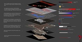
This map disaggregates determinants of place to communicate a narrative of placelessness in western Canal Street. By visualizing these determinants, we attempt to simulate the acute feeling of placelessness experienced in this part of the city.
